10 November 2024
The 3 Goldilocks and the bear
Mount Okushishiku from Tsurugi station
A lot of photos today. Great light for hiking photos so I will try to be brief here.
My hike today was from the last station on the Ishikawa line, Tsurugi. This is not Tsuruga, that is a city further south of here. The Ishikawa line does not take IC card - this seems to be a theme on this trip. From the first and last stations you can buy a day pass, otherwise you take a ticket as you board and then pay on board, to the driver, as you get off. As I was doing a return trip I bought a day pass. Also inexplicably, this train line does not link up with Kanazawa station, it starts about 3km away in the middle of nowhere at Nishikanazawa station. You may find yourself waiting for a while to transfer on the way there and the way back because JR trains and the Ishikawa lines are not coordinating schedules.
Now for the hike stats before a whole lot of photos.
30,600 steps
18.92km
950m vertical ascent (felt like less)
1,355 calories burned
5 hours 21 minutes
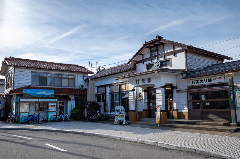
Here is Tsurugi station. This is an actual station with an attendant, but no IC cards are accepted. Many of the other stations on this line are just a concrete platform in the middle of a farmers field.
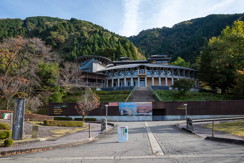
The Shishiku highland pavilion. There is a cable car here which you shall see shortly and later, and also a lot of paragliding. I have done a hike here before, but on different trails, on a very windy day.
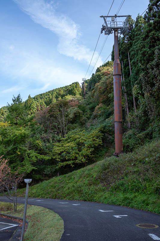
There is the cable car. It does not start running until 10am. I was kind of interested, the cars are not on the wire permanently, they take them off when not in use. I do not think I like that idea, I would prefer that they were very well attached to the wire in such a way they cannot come off.
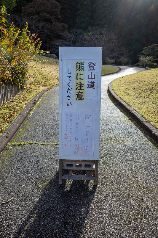
Here is the infamous sign I have been seeing a lot on yamap. Bear sighting on 26 October. Well it has not been seen again since then so that is good. To make matters worse it was a bear and cub, and apparently that is when they might get violent, if they feel their cub is threatened. So this is why I am here today on a weekend instead of Friday when I originally had this hike planned.
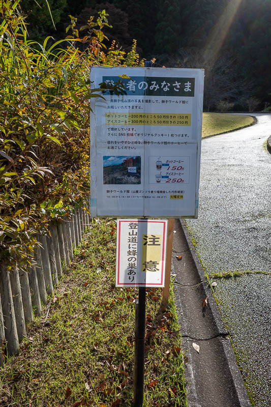
There are a lot of warning signs! The bottom sign here is warning about a bee hive, but I think the translation has that wrong and it is probably a murder hornets nest. Hornets kill a lot more people compared to bears! I seem to recall in Taiwan recently 5 people died in the same incident when someone disturbed a hornets nest. Also the other sign is saying to go on the hike, and show a photo of the summit marker to get a discounted coffee. Mixed messages.
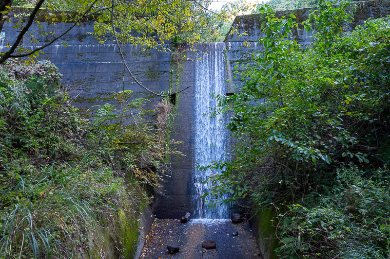
Everyone else seems to post this photo on their bear and cub sign report of their hike, so I will too.
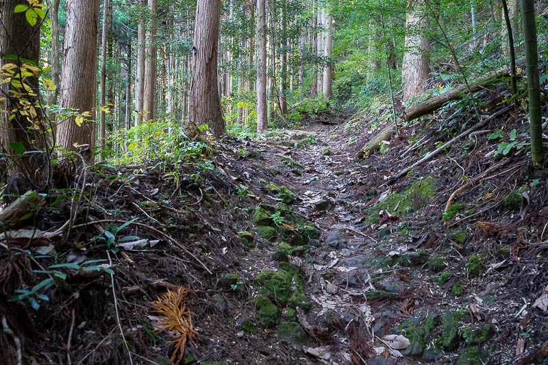
Now I joined the trail, with my bell dinging. There were a lot of other hikers around. Behind me were some children, in front of me some elderly people. I adjusted my pace to remain in between, thus travelling with my bear shield. Although this was potentially now the 3 Goldilocks and the bear, we have the young, the old, and in the middle aged (me), which for the bear might be just right? AM I NOW JUST PORRIDGE?
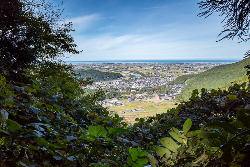
Here is the low down view back up the valley towards Kanazawa. I remember a similar view from the last time I was in this area, but I am quite certain I was on a different trail today.
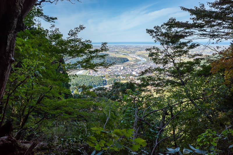
Same view, slightly higher. Still in the wooded bear country.
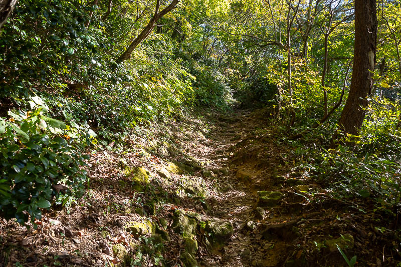
Now the colourful leaves started and the sun was shining through the foliage. For whatever reason, this is not where the bear is expected to be. I really don't think anyone actually knows, they are just going on a recent sample of 1 sighting. Probably on every hike I pass 50 bears without knowing that are just relaxing near the path.
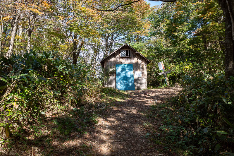
A cabin in the woods. Bear warning sign, but the old style one, no mention of a recent sighting.
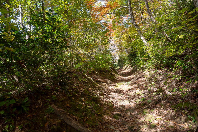
Today there was quite a colourful leaf tunnel.
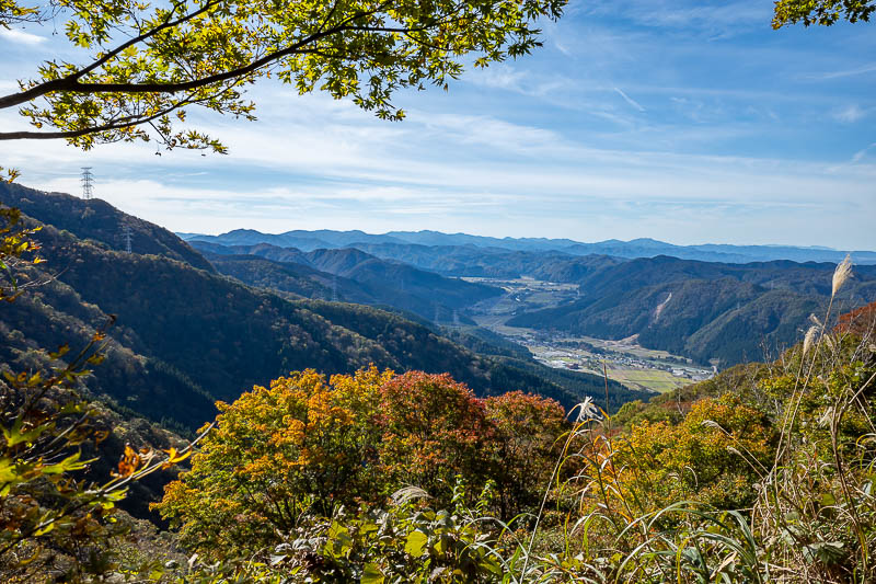
Probably picture of the day. Looking further up the valley, beyond the end of the train line.
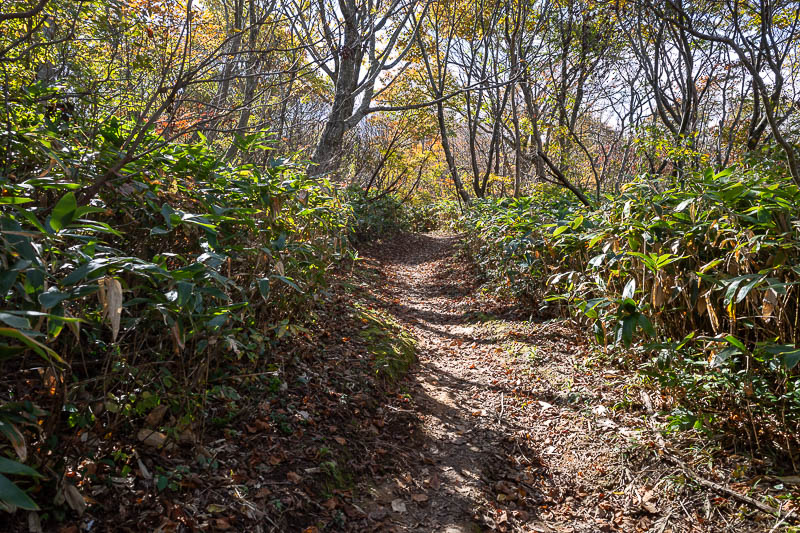
There will be a lot more photos like this.
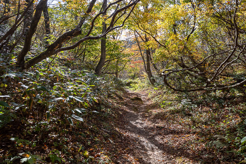
The trail from the cabin shown above onwards to the summit was quite flat, I could run periodically.
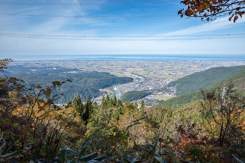
More view towards the coast, with power lines.
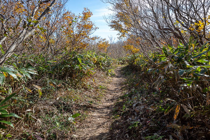
Near the top the greenery became less green and the trees got a bit shorter.
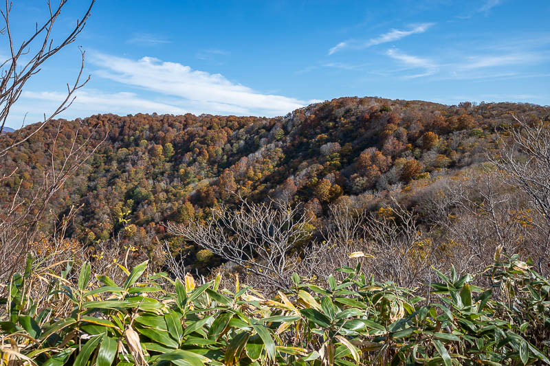
I think that is my summit. Although I know there is a big cleared area for people to cook their lunch.
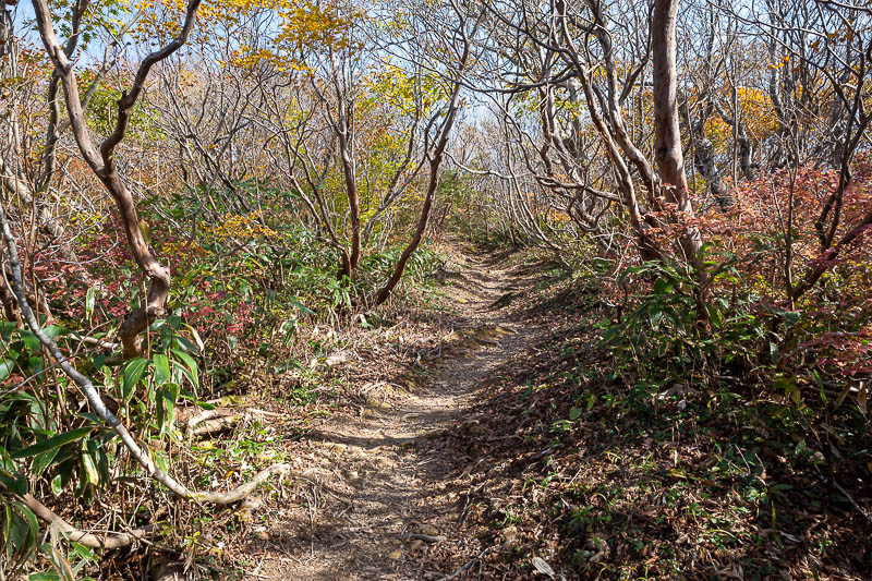
The scenery was still fantastic.
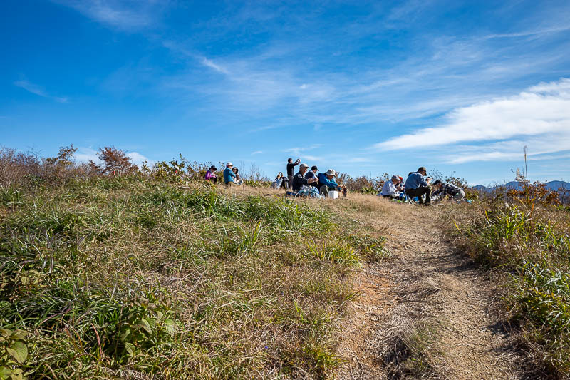
And after making great progress I was already at the summit. Look at all the people.
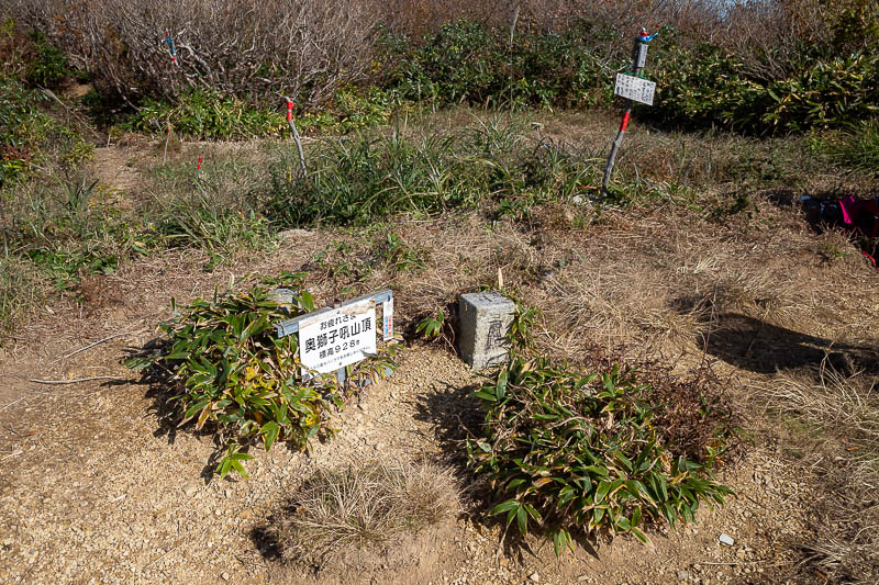
Photo of summit marker in case I want to claim my discounted coffee (I did not).
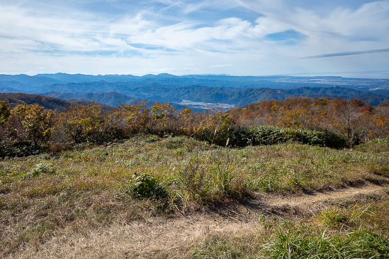
View up the valley.
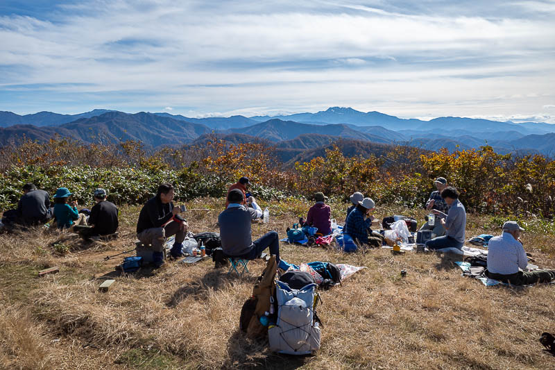
The peak in the middle with a bit of snow on it is Hakusan (I think).
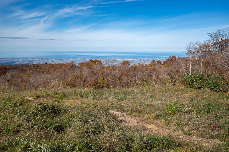
Back down to the coast. The best views today were not from the summit area, but they did put in a bit of effort to clear some trees so that there was any view at all.
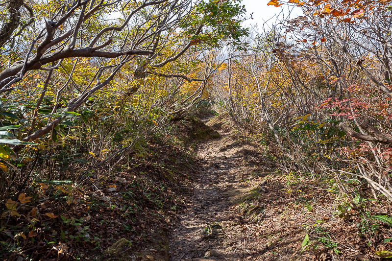
Now to skip all the way down enjoying the scenery.
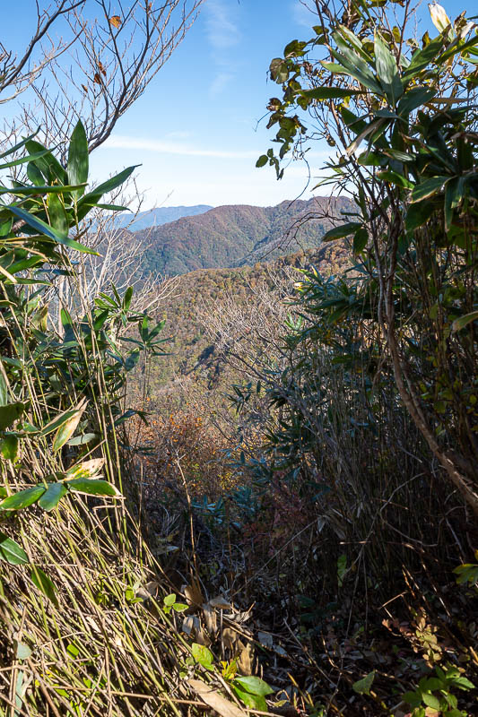
There were a few clearings like this to get to electricity infrastructure.
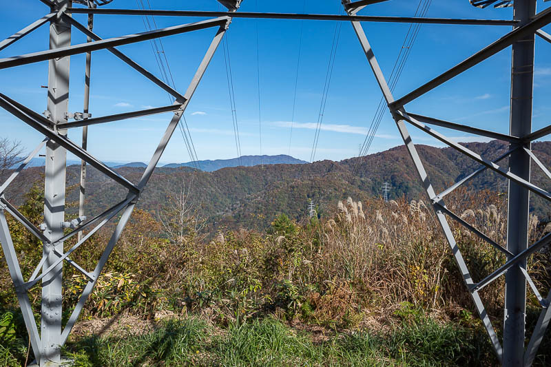
Here is, electricity infrastructure.
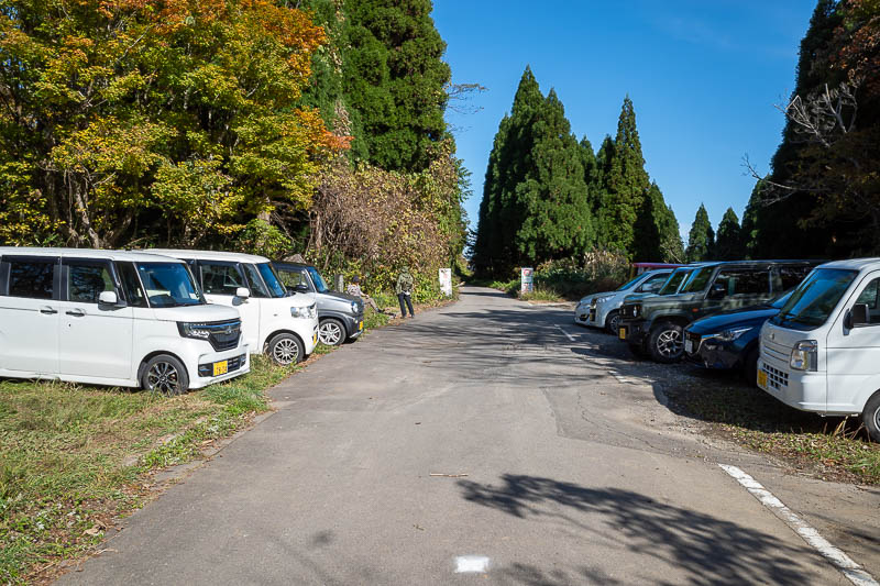
I did not show this on the way up, but the trail crosses this road. Look at these cheats! This is 2/3 of the way to the summit. I bet they wait for there to be no one else around before they park or go back to their car.
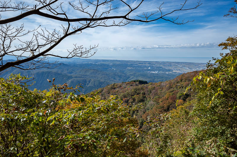
Great views and great clouds on the way down. This type of cloud makes for the best photos.
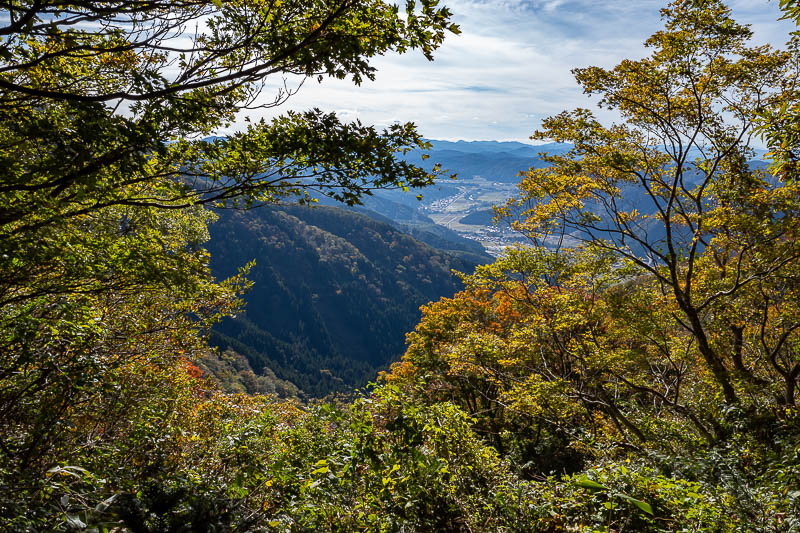
Same valley from a different spot than earlier.
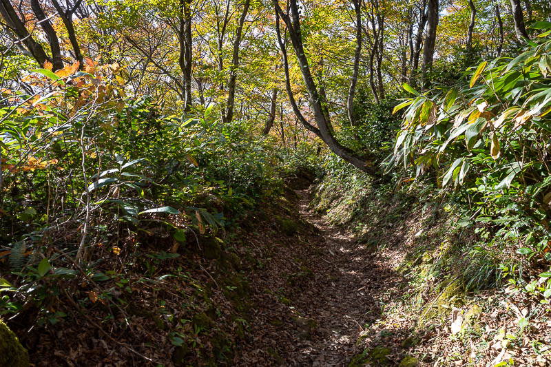
One more of these...
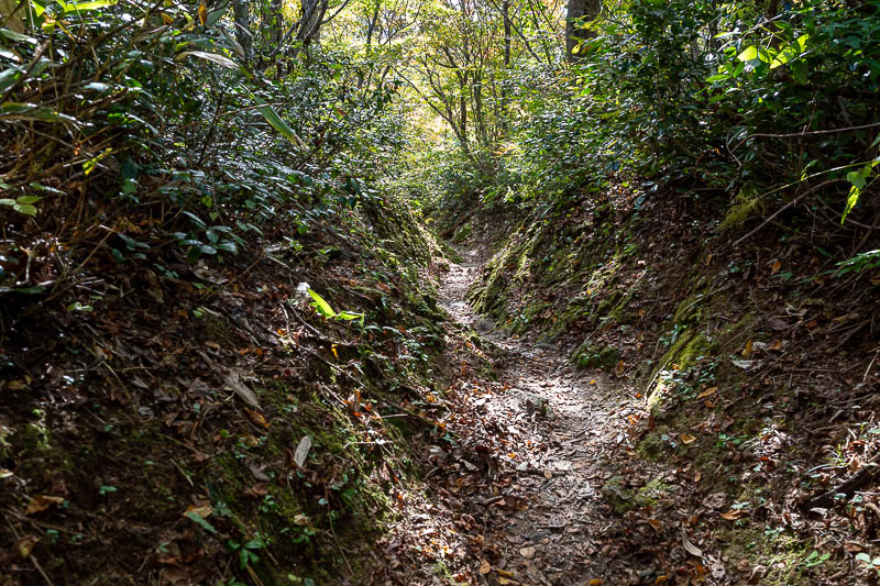
Back in the mossy section, about to head back into bear territory.
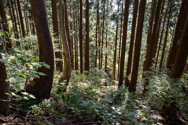
Last time I was in this area, the trees were actually blowing into each other and making a loud cracking sound almost like lightning. No wind today.
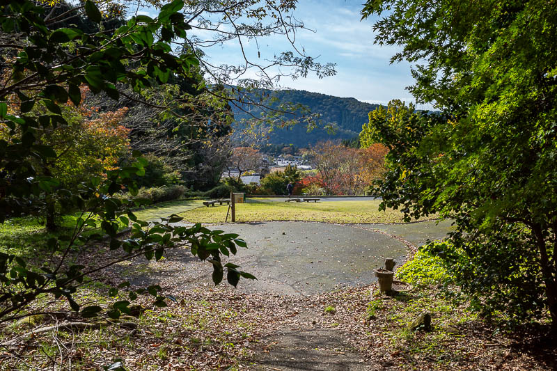
And then I came out of the woods, once again free of bear bites.
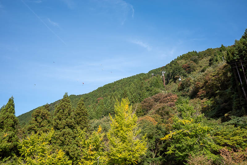
I know this is hard to see, but here you can see the cable cars on the wire, and if you squint, 5 or so paragliders. More on them shortly.
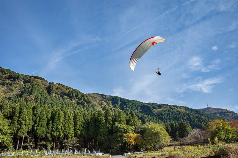
I made a small detour to go past their landing area, and they seemed to enjoy flying very close to me on their way to the landing spot. It is amusing to me that there is a graveyard in the left of this photo, probably full of paragliders.
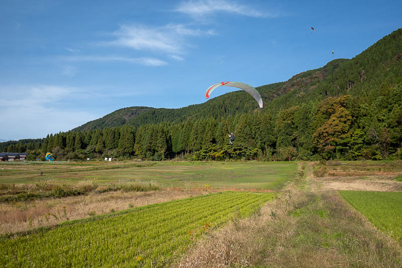
Here is the landing spot. It looked very graceful for the 5 or so that I watched land.
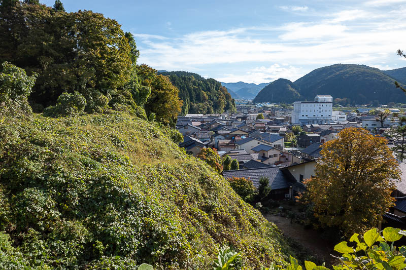
And for my final photo, even the walk along the road back to the train station was very picturesque. Unfortunately the train back took ages, I had to wait at Nishikanazawa for over 30 minutes for the connection. I probably could have jogged back faster.